
Dubai Metro Map - Complete Guide to Red Line, Green Line, Blue Line, and Beyond
Apr 22, 2024
Dubai's rapid growth as a global city is backed by one of the most advanced metro systems in the world. The Dubai Metro has become the backbone of daily commuting for millions of residents, tourists, and business travelers alike. Whether you are a new resident trying to navigate the city or an investor assessing a property's connectivity, understanding the Dubai Metro map is essential.
This guide covers everything you need to know about the Dubai Metro map, including the current Red Line and Green Line stations, the upcoming Blue Line and Gold Line expansions, fare zones, NOL card usage, and what the full network will look like by 2032.
What Is the Dubai Metro?
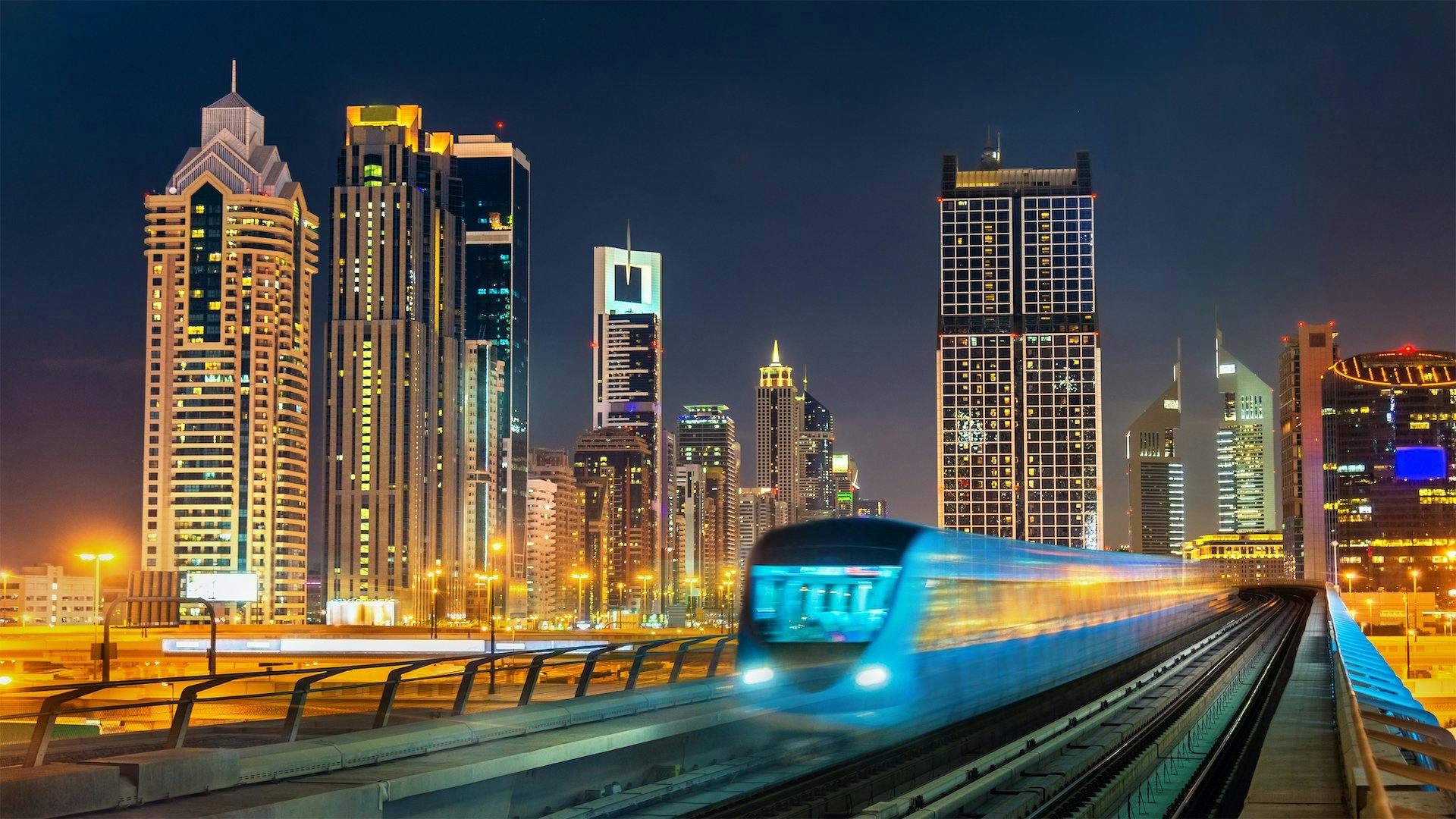
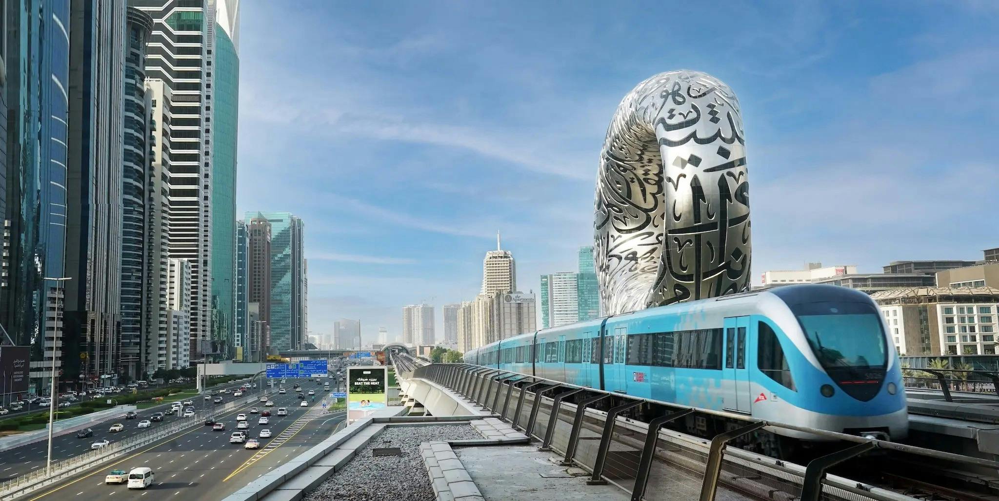
The Dubai Metro is a fully automated, driverless rapid transit system operated by the Roads and Transport Authority (RTA). It is the world's longest driverless metro network by route length, stretching across 74.6 kilometres with 47 stations currently in operation. Launched in September 2009, the metro has grown steadily and continues to expand as Dubai's population grows.
The system currently operates on two main lines: the Red Line and the Green Line. Two additional lines, the Blue Line and the Gold Line, are under development and expected to significantly reshape how people move across the emirate.
Dubai Metro Map
The Dubai Metro map consists of 47 stations spread across two active lines. The Red Line runs 52.1 kilometres from Centrepoint Station in Rashidiya to the Life Pharmacy Station in Jebel Ali. The Green Line is 22.5 kilometres long and connects the e& Station in Al Qusais to Creek Station in Al Jaddaf.
Two interchange stations, Union and BurJuman, connect the Red Line and the Green Line, allowing passengers to switch between lines without paying an additional fare. The metro integrates seamlessly with Dubai's bus network, tram, and water taxi services through the NOL card system.
Dubai Metro Red Line Stations
The Red Line is the most widely used route on the Dubai Metro map. It passes through some of Dubai's most iconic destinations, including Dubai International Airport, Downtown Dubai, Business Bay, Dubai Marina, and Expo City. Here is a breakdown of the Red Line stations from north to south.
Rashidiya Area
Centrepoint Station serves the Rashidiya community and is one of three metro stations offering a free car park for commuters.
Airport and Garhoud Area
Emirates Station, Airport Terminal 3, Airport Terminal 1, and Al Garhoud serve Dubai International Airport and the surrounding Garhoud neighbourhood.
Deira Area
City Centre Deira, Al Rigga, and Union Station (Red and Green Line interchange) serve the historic Deira district, home to traditional souks, gold markets, and creek-front dining.
Bur Dubai and Karama
BurJuman (Red and Green Line interchange), ADCB, and max Station cover the Bur Dubai and Karama areas.
Trade Centre and DIFC
World Trade Centre, Emirates Towers, and Financial Centre serve Dubai's commercial core.
Downtown Dubai and Business Bay
Burj Khalifa/Dubai Mall Station is one of the busiest stations on the entire network, connected to The Dubai Mall via a covered walkway. Business Bay Station serves the adjacent canal district.
Al Quoz and Al Barsha
Onpassive, Equiti, Mall of the Emirates, and InsuranceMarket stations cover this stretch of Sheikh Zayed Road.
Media City, Marina, and JLT
Dubai Internet City, Al Fardan Exchange, Sobha Realty, and DMCC serve the media, tech, and marina communities.
Jebel Ali and Expo Route
The southern portion of the Red Line includes National Paints, Ibn Battuta, Energy, Danube, and Life Pharmacy, along with the Expo 2020 extension stations serving The Gardens, Discovery Gardens, Al Furjan, Jumeirah Golf Estates, Dubai Investment Park, and Expo 2020.
Dubai Metro Green Line Stations
The Green Line serves Dubai's northern and historic districts. It runs through Deira, Bur Dubai, Oud Metha, and Al Jaddaf.
Al Qusais Area
Al Qusais, Dubai Airport Free Zone, Al Nahda, and Stadium stations are all in Zone 5.
Al Twar
Al Qiyadah Station connects this residential area to the wider network.
Deira
Abu Hail, Abu Baker Al Siddique, Salah Al Din, Union (Red Line connection), Baniyas Square, Gold Souq, and Al Ras stations serve central Deira.
Bur Dubai
Al Ghubaiba, Sharaf DG, and BurJuman (Red Line connection) cover the Bur Dubai area.
Oud Metha and Al Jaddaf
Oud Metha, Dubai Healthcare City, Al Jaddaf, and Creek Station complete the line at the southern end, near the Dubai Creek waterfront.
Dubai Metro Fare Zones
The Dubai Metro operates on a zone-based fare structure with four main zones. Knowing which zones you are travelling through helps you calculate your fare before boarding.
Zone 1 covers central Dubai including Downtown, DIFC, and the Burj Khalifa area. Zone 2 includes the Marina, Airport, and Deira neighbourhoods. Zone 3 covers outer areas such as parts of Al Qusais and Jebel Ali. Zone 4 covers the extended network including Expo City and Centrepoint.
For Silver Card holders, a single-zone journey costs AED 3, a two-zone journey costs AED 5, and three or more zones cost AED 7.50. Gold Card holders pay double on each tier. Students and People of Determination receive a 50% discount. The maximum daily fare is capped, making it more economical for frequent riders.
NOL Card
The NOL card is the primary payment method for the Dubai Metro and all other RTA transport services. There are four types of NOL cards available.
The Silver Card is the standard card used by most commuters and tourists. The Gold Card offers access to the Gold Class carriages located at the front and rear of each train. The Blue Card is a personalised card registered to a specific individual. Red Tickets are single-use paper cards ideal for short visits.
NOL cards can be topped up at metro stations, RTA service centres, and through the RTA Dubai app. They can also be used on Dubai buses, the Palm Monorail, and the Dubai Tram.
How to Use the Dubai Metro
Using the Dubai Metro is straightforward once you understand a few basics. Here are some practical tips to help you get around efficiently.
Trains run from 5:00 AM to midnight Monday through Thursday, from 5:00 AM to 1:00 AM on Fridays, from 5:00 AM to midnight on Saturdays, and from 8:00 AM to midnight on Sundays. Operating hours are often extended during major public events and Ramadan.
Peak frequency runs every 3 minutes and 45 seconds during busy hours, and every 7 minutes during off-peak times. Each train has a dedicated Women and Children carriage and a Gold Class carriage. Using these sections without the appropriate NOL card will result in a fine.
All stations are fully accessible, featuring elevators, tactile flooring, and dedicated assistance services for People of Determination and elderly passengers. The RTA Dubai app provides real-time train arrivals, route planning, and NOL card balance checks.
Dubai Metro Blue Line
The most eagerly anticipated addition to the Dubai Metro map is the Blue Line, currently under construction with an expected operational date of 2029. This 30-kilometre line will add 14 new stations and create three interchange connections with the existing Red and Green lines.
The Blue Line is split into two routes. The larger 21-kilometre route will connect Creek Station at Al Jaddaf to Al Rashidiya, passing through Dubai Festival City, Ras Al Khor, Emaar Properties Station at Dubai Creek Harbour, Dubai International Airport, Mirdif, International City, Dubai Silicon Oasis, and Academic City. The shorter 9-kilometre route will extend from Al Rashidiya through the Al Warqa neighbourhood.
One of the most talked-about stations on the Blue Line is the Dubai Creek Harbour station, which will carry the Emaar Properties name for at least the first 10 years of operation. The station is designed to be the world's tallest metro station, spanning 11,000 square metres and capable of handling up to 160,000 passengers per day.
The Blue Line will dramatically improve connectivity for areas that currently have limited metro access, including International City, Mirdif, and Dubai Silicon Oasis. For investors and residents in these communities, the upcoming Blue Line is already influencing property demand and values.
Dubai Metro Gold Line
The Gold Line is a major new addition to the Dubai Metro network announced in 2026. Featuring 18 stations across a fully underground route of 42 kilometres, the Gold Line is designed to serve approximately 15 million residents and connect several underserved parts of the city.
The Gold Line begins at Al Ghubaiba Station, which will serve as an interchange with the existing Green Line. From there, it runs southward through Al Mina Street, Al Satwa, City Walk, Business Bay (interchange with the Red Line), a new Downtown Dubai stop on Burj Khalifa Road, two stops in District 1, Nad Al Sheba, Dubai Hills, Global Village, a future Meydan Etihad Rail interchange, Hadaeq Mohammed Bin Rashid, Dubai Miracle Garden, Jumeirah Village Circle, Dubai Production City, and finally Jumeirah Golf Estates, where it connects with the existing Red Line station and the upcoming Etihad Rail passenger service.
The Gold Line is particularly significant for areas like Al Satwa, JVC, Dubai Hills, and Global Village, which have long lacked a direct metro connection. For the real estate market, the announcement of Gold Line stations has already triggered a wave of renewed interest from buyers and investors looking to capitalize on improved connectivity.
Dubai Metro Map 2032
By 2032, the Dubai Metro map will look dramatically different from what it is today. The RTA has shared a detailed map showing how all four lines, the Red, Green, Blue, and Gold, will operate together across the city.
The total number of stations is expected to reach 81 by 2032. The network will cover a far wider geographic area, connecting existing residential communities with major new developments and extending into areas previously unserved by rail.
The 2032 map also incorporates the Etihad Rail passenger service, which will link Dubai to Abu Dhabi and other Emirates. Etihad Rail stations within Dubai include a High Speed Rail stop at Al Jaddaf waterfront, a link near Al Maktoum International Airport, and a passenger service stop at Jumeirah Golf Estates and the future Meydan station. These rail connections will integrate the metro into a broader national transport ecosystem, making inter-emirate travel faster and more convenient than ever.
Looking further ahead, the RTA has outlined long-term plans to expand the network to 96 stations by 2030 and 140 stations by 2040. This vision is directly tied to the Dubai 2040 Urban Master Plan, which focuses on creating liveable, connected communities across five urban centres.
Metro Proximity and Real Estate Value in Dubai
For property buyers and investors, proximity to the Dubai Metro is one of the most important factors in evaluating a location. Properties within a 10-minute walk from a metro station consistently command a premium in both sale price and rental yield.
The upcoming Blue Line and Gold Line expansions are already having a measurable effect on demand in connected neighbourhoods. Communities like International City, Dubai Hills, Al Satwa, and Mirdif are attracting new buyer interest precisely because of their planned metro access. Meanwhile, established metro-linked areas like Business Bay, Downtown Dubai, and Dubai Marina continue to show strong investment fundamentals supported by excellent connectivity.
For end-users, living near the metro translates to lower transportation costs, easier daily commuting, and better access to the city's key commercial and leisure destinations. For landlords, metro proximity is a strong selling point for tenants, particularly the large expatriate working population that relies on public transport.
Dubai Metro vs. Other Dubai Transport Options
Dubai offers a range of transport options beyond the metro, and understanding how they complement each other makes navigating the city much easier.
The Dubai Tram operates along Al Sufouh Road, connecting the metro at Dubai Internet City and DMCC stations to the Palm Monorail, making the entire Palm Jumeirah and Dubai Marina corridor easily accessible. The Dubai Ferry and water taxis offer scenic routes along the Dubai Creek and Marina, useful for both commuting and leisure. The RTA Bus network covers areas beyond the metro footprint and integrates fully with the NOL card.
For those commuting between Abu Dhabi and Dubai, the upcoming Etihad Rail passenger service will offer a high-speed alternative to road travel. Its integration with the Dubai Metro at multiple points will make inter-city commuting far more practical for residents who work across emirate boundaries.
How many stations does the Dubai Metro have?
The Dubai Metro currently operates 47 stations across the Red Line and Green Line.
What are the two interchange stations on the Dubai Metro?
Union Station in Deira and BurJuman Station in Bur Dubai connect the Red Line and Green Line. No additional fare is charged when transferring between lines within 30 minutes.
When will the Dubai Metro Blue Line open?
The Blue Line is expected to open in 2029. It will add 14 stations and 30 kilometres to the network.
What is the Gold Line on the Dubai Metro?
The Gold Line is a new 42-kilometre underground line announced in 2026 with 18 stations. It is expected to be operational by 2032 and will connect Al Ghubaiba to Jumeirah Golf Estates via Al Satwa, City Walk, Business Bay, Dubai Hills, and Global Village.
Is the Dubai Metro accessible for wheelchair users?
Yes. All stations are fully wheelchair accessible, with elevators, tactile flooring, and dedicated assistance available at every station.
Which metro station is closest to the Burj Khalifa?
Burj Khalifa/Dubai Mall Station on the Red Line is directly connected to The Dubai Mall via a climate-controlled walkway that leads to the base of the Burj Khalifa.
How do I pay for the Dubai Metro?
The NOL card is used for all metro journeys. It can also be used on buses, trams, and water taxis. Cards can be topped up at vending machines inside stations, through the RTA app, or at authorised retail outlets.
Final Thoughts
The Dubai Metro map is more than just a transit guide. It is a window into the city's growth, its investment priorities, and its commitment to building a connected, sustainable urban environment. Whether you are a daily commuter, a visitor exploring the city, or a property investor assessing neighbourhoods, the metro network touches virtually every aspect of life in Dubai.
With the Blue Line under construction, the Gold Line freshly announced, and a vision to reach 140 stations by 2040, Dubai's metro is set to become even more central to the city's identity. Understanding the current map and keeping an eye on the planned expansions is essential for anyone looking to make informed decisions about living, working, or investing in Dubai.
At 11Prop, we help investors and residents identify properties with strong fundamentals, including proximity to key transport infrastructure like the Dubai Metro. If you are looking for a home or investment opportunity in a metro-connected community, our team is here to guide you through every step.